Sunday, September 24, 2017

Assignment 2: Understanding Distance Azimuth Surveying

Introduction

For this lab, the goal was to work with surveying equipment, data collection methods, and improvising in the field. This initiative was done by collecting the distances and azimuths of trees from two central points. Doing such rudimentary surveying methods can be useful when access to more technologically advanced platforms are limited or not working properly.

The distance azimuth is found by collecting the distance and horizontal angle to a feature from a center point.
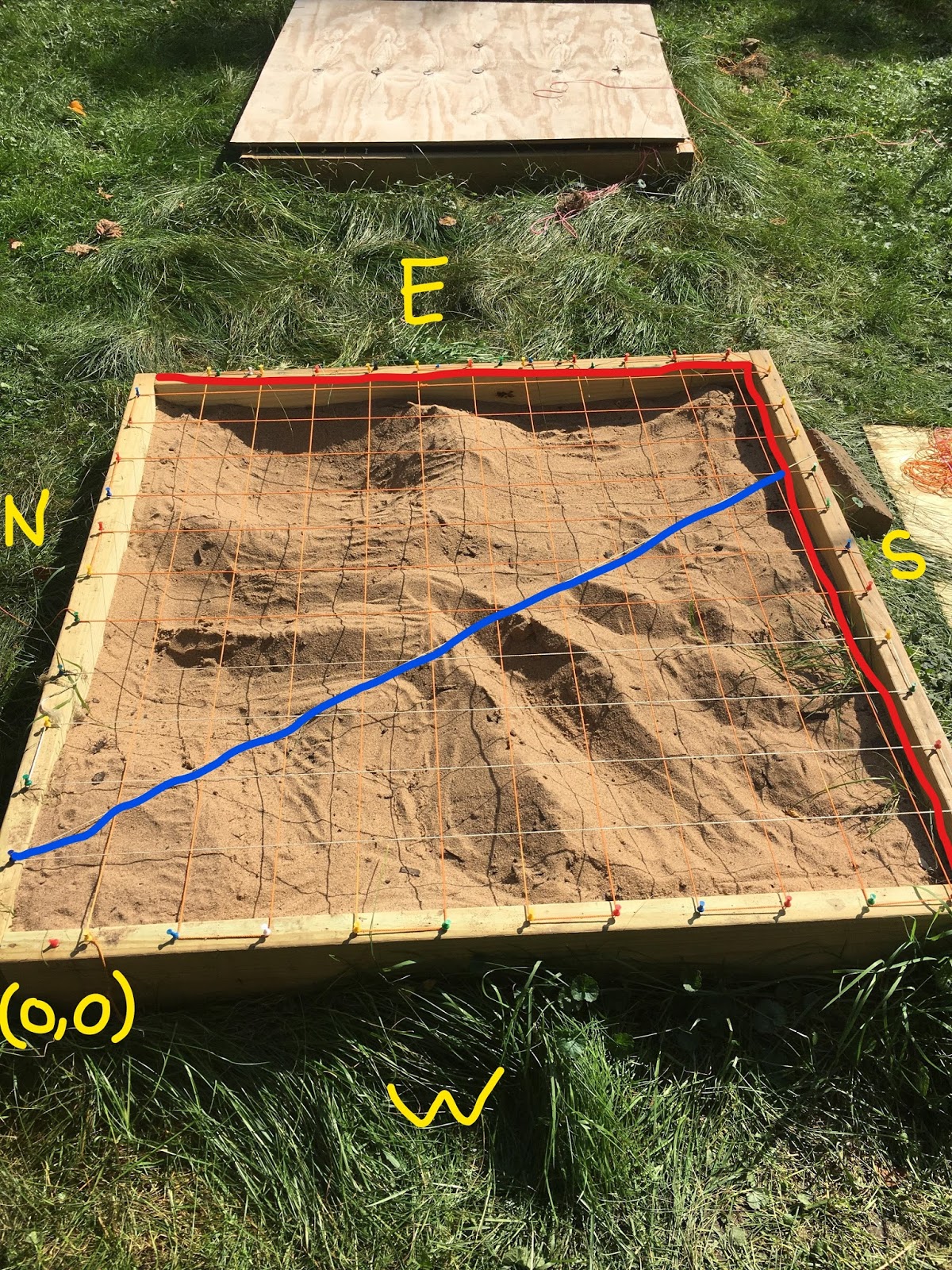
Figure 1: This image shows how a distance azimuth measurement is collected. 
In figure 1, the dotted green line would represent 0 degrees and therefore true north. The azimuth is the degree measurement from true north-- labeled as "bearing" in this image. The distance represents how far away the feature being measured is from the data collector and serves as the endpoint for the azimuth.

Methods

To complete the distance azimuth survey lab, a few tools were required (from top left to right): a GPS unit, a compass, a laser measure (optional), and tape measure.


The first step was to locate the survey area and objective. For this lab, the features being surveyed were distances to trees from two different center points. The circumference and tree type were collected as attributes.


Once the objective was identified, the data collection process could begin. To do this, the center point was found with the GPS unit. Writing down the center point coordinates helped to ensure the location throughout the exercise would not change. Next, the features used in the data collection process were identified and number of points collected was decided. For the purposes of this lab, between 10 and 12 points (trees) per center point would've been enough to gather a good dataset to work with. Once features to be surveyed have been identified, the distance from the center point to the tree was recorded. This could've been done using the tape measure or a laser measure. Then, the azimuth or bearing of the tree from the center point was found. This was done using the compass and recording the degree that the tree faces. Lastly, the attributes of the tree (circumference and type) were documented using the tape measure and Dr. Hupy's knowledge of wood types.


Upon the completion of the data collection, it was brought into excel and standardized-- meaning all columns have the same entry methods and conventions. From there, the excel table was brought into ArcMAP and used in the Bearing Distance to Line tool. This tool can be found in the Data Management > Features Toolset and uses the X, Y coordinates, azimuth, and distance fields to create line features. Then, the Feature Vertices to Points tool. This tool can be found in the Data Management > Features Toolset and uses the vertices of the lines that were just created to make a point feature class.


Results


After collecting the data and creating the maps, it is clear to see the simplicity involved in this method. By making a few columns of data and bringing them into ArcMAP, the user is able to create an informative map about the distances and azimuths of features from a central point very quickly.


Discussion


Overall, the technology provided worked well enough that we collected some fairly accurate data relatively quickly. It turned out that the compass we used to record azimuths had an abnormal degree system, so we had to convert our data to a convention that ArcMAP would understand.


For the most part, we used the laser measure tool to collect distances to the trees, however sometimes the laser wouldn't detect the distance because it was out of range and/or the point was too far away for the point to be visible on the tree. When this happened, we tried to have a group member stand in front of the tree for greater surface area, but this didn't work, so we resorted to using the tape measure instead in these instances. The weight of the tape measure increased as it was drawn out, which made it harder to keep straight. This most likely had an effect on the accuracy of the distance and is why the laser measure is more useful in this effort.


Another problem our group ran into was identifying the tree types. Dr. Hupy helped us out on most of them, but otherwise it was just a plain guess. Since the purpose of this lab was to become familiar with data collection, the accuracy of the tree type was arbitrary, but was an issue nonetheless.


When creating the resulting map, I wasn't sure how to best represent the circumference attribute for the trees, so I used a graduated symbology which classified the circumferences into five different ranges of values. Since the attributes weren't a huge part of this lab, I figured this would be sufficient.

Monday, September 18, 2017

Assignment 1: Understanding Survey Grids and Coordinates

Introduction

For this lab, the goal was to develop a unique coordinate system for a 1m x 1m custom sandbox landscape and log elevations to understand sampling techniques. Sampling can be used in many fields of science, but for the purposes of this lab, and within spatial sciences as a whole, it was used to gain a general survey of a particular geography's landscape. There are many different sampling methods to choose from. The most common being: random, systematic, and stratified- each containing advantages and disadvantages.

Random sampling limits bias by taking random samples from a line, area, or choosing a random point.

Systematic sampling limits bias by using a consistent and methodical interval for sampling.

Stratified sampling breaks down the sample population into various groups, which attempts to refine the entire sample and best represent the sample population.

For this exercise, my group decided to use two systematic sampling methods.

Methods

Once the landscape of the sandbox was created and all the required terrain features were formed, my group and I had to develop a coordinate system to aid in our elevation sampling of the landscape. The coordinate system was made by using thumb tacks and string to make a grid across the top of the sandbox. Our coordinate system contained 10 cm intervals with the point of origin being the northwest corner of the sandbox.

Figure 1: Jake (left), Bayli (not pictured), and I (right) with our sandbox landscape.

Figure 2: View of sandbox from Jake and I's perspective in Figure 1. Cardinal directions shown in yellow.
In considering time, effort, and relatively spread-out features of the landscape, systematic sampling was the best option. After discussion, we felt random sampling would take too much time and the possibility of not representing enough features in the landscape (if for example a good majority of our random coordinates happened to cover the "plain" feature, the ridges and depressions would be underrepresented) and stratified sampling was not chosen due to the difficulty to separate overlapping features in the landscape.

Our systematic approaches to sampling were as follows: measure elevation (Z) of landscape at each (X,Y) vertex, and measure Z values that intersect with X coordinates along a line from (0,1) to (8,0). Elevation was measured with a meter stick and logged as cm below our coordinate system (a string grid). My partners recorded values while I measured elevations of the vertices, starting at (0,0) going up the length of the Y-axis, then resuming at (1,0) and so on. A field book table and excel document were used to record values at the same time to ensure accuracy of the measurements.

Figure 3: Our string and thumbtack coordinate system. Areas crossed out in red were unused due to the size of our coordinate intervals.

Figure 4: View of coordinate system with cross section line shown in blue. Red lines show the extent of the area surveyed.


Results

In total, we recorded 121 points with the systematic grid sampling method and 8 points with the cross section sampling method. The lowest point sampled was 14.4 cm below the grid and the highest point sampled was 0.4 cm below the grid. Overall the mean value was 6.2 cm below the grid.

We didn't run into any major problems, other than a few mix-ups with Z-values- to which we would just start the column over and re-measure.

Conclusion

While sometimes not extremely precise or representative, sampling can provide insightful information about a particular population in an efficient manner. In terms of a spacial application to sampling, it could be useful for getting a sense of general landscape characteristics or species abundance in an area. For spatial applications that require more precision, like geomorphology or sedimentology, sampling might not be the best solution.